[Text written long after the trip, based on somewhat faded memories]
Topographic maps indicate Khvostof Lake is 25ft lower than Rezanof Lake. The connecting stream runs about 1100ft, so it is not steep. However, it seemed a little more intense than we wanted to try and float the raft down, with shallows, and a bit of a rapids along the way. Instead, we portaged the raft and outboard through the forest. It was a bit of a haul, but we did manage to get to the shores of the lower lake.
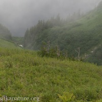
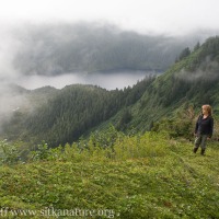
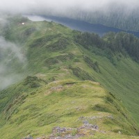
Our intention today was to head up the ridge towards Mt. Hagemeister. It was steep getting up off the lake, but once on the ridge, travel wasn’t too bad.
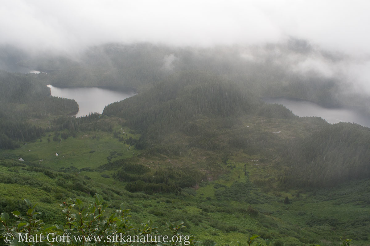
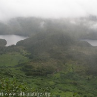
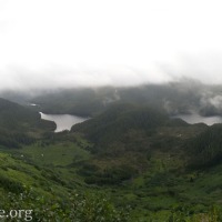
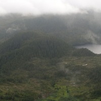
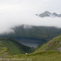
Clouds had settled in and obscured our views, but what we could see below us to the south and west looked like an intriguing mix of meadows, muskegs, forest, and lakes (alas, we would not have time to try and get down there to explore).
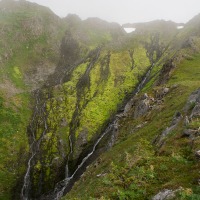
It was already late afternoon by the time we were getting up to the cloud base. The ridge began to steepen up significantly, and we decided that I would push on a bit further to see what I might find, then we would head back.
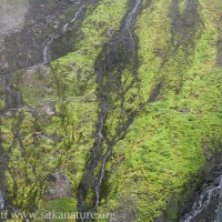
I have few pictures from this part of the hike, I think in part because I was in a hurry, and the light was not the best. I do remember I collected some mosses/liverworts from a place where slow persisted late. I think at least one of them turned out to be new to the region.
As dark was beginning to settle, the portage back up to Rezanof Lake was not fun at all. I ended up carrying the raft by myself, while Kitty hauled the outboard. It was not the weight that was the biggest problem, but the inertia has I had to maneuver it around and between trees. It was welcome for the trip up the long lake the day before, but on this day, a kayak or pack rafts would have been much nicer.

