Mostly clear and cold. Temperatures in the low 20s.
Yesterday’s low of 21F wasn’t quite low enough to match the record for the date (20F set in 2008). It happens to be one of the highest record lows for the time of year, and despite the forecast for colder temperatures in the coming days, it’s not looking likely that we’ll come as close to a record for the date.
Today was the Christmas Bird Count. I had arranged to go on a boat to the north side of town. I planned to meet Neil (owner/operator of A Whale’s Song Expeditions) at the Catdaddy in Crescent Harbor at 8:30am.
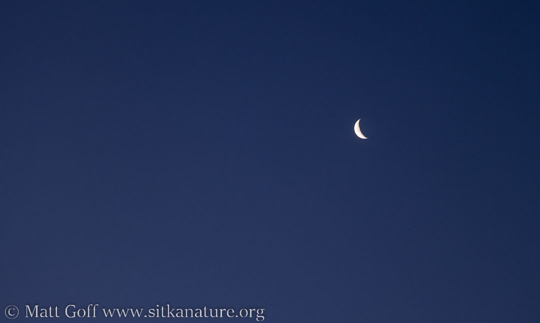
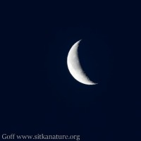
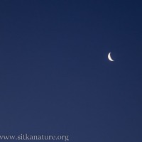
When I woke, I could see the waning crescent moon out my window. The sky was no longer dark, but the moon was still much brighter.
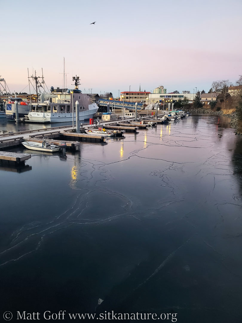
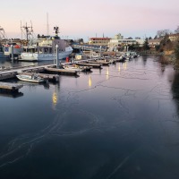
Neil was already at the boat and ready to go when I arrived at the harbor a few minutes before sunrise.
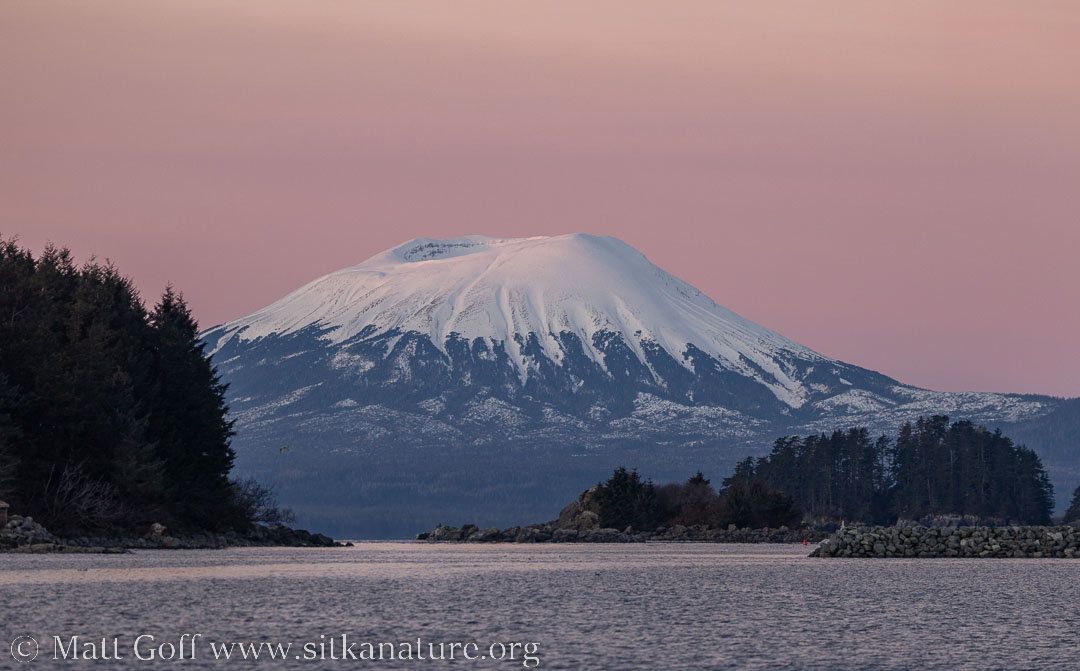
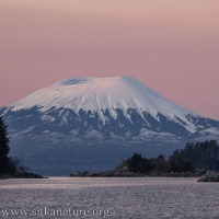
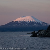
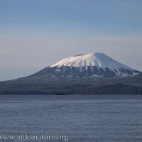
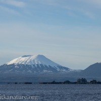
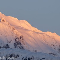
As we neared the north end of the channel, the rim of Mt. Edgecumbe caught the first direct light of the sun.
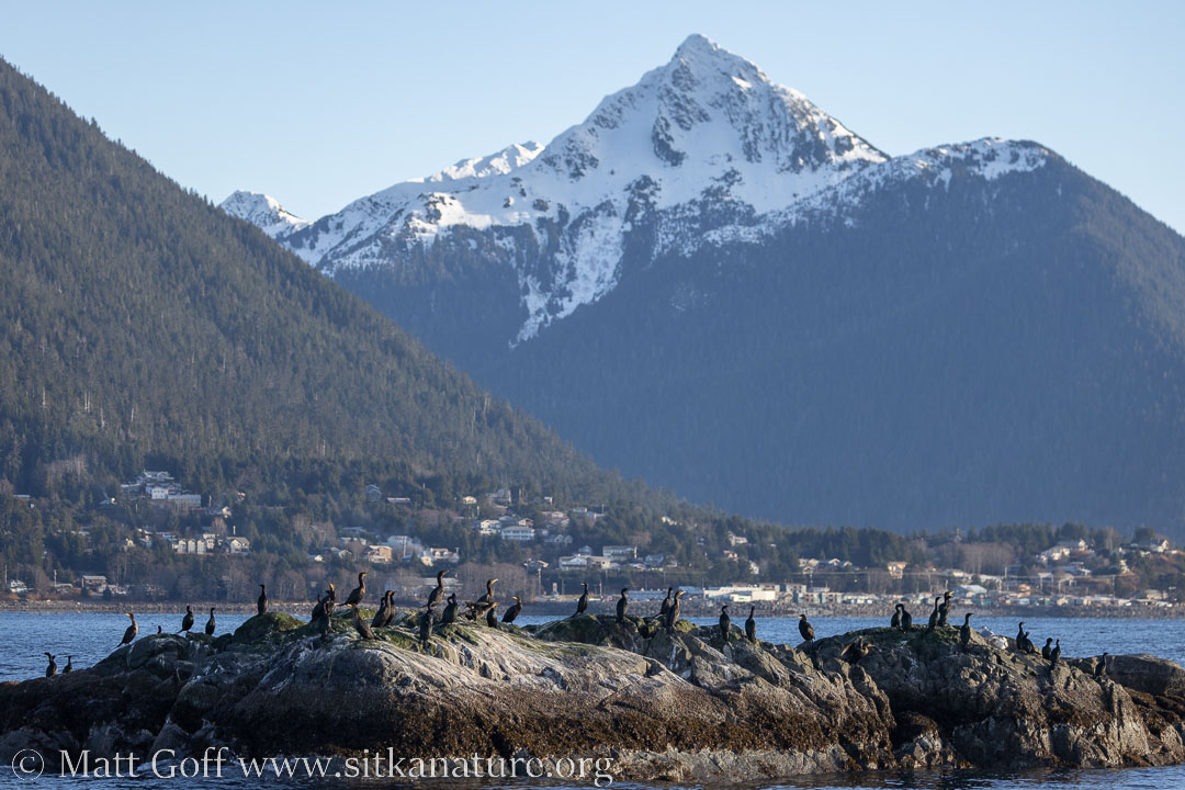
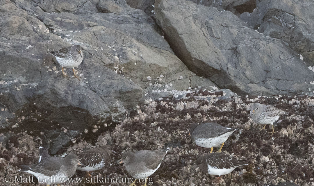
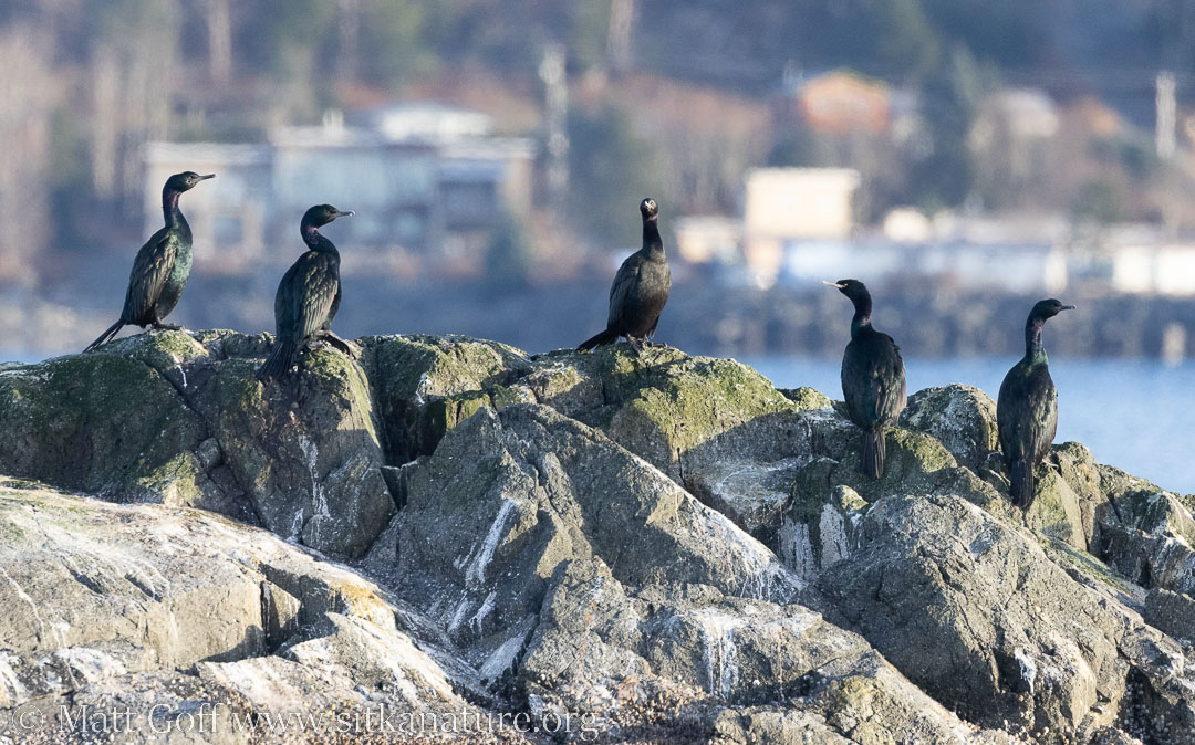
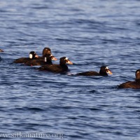
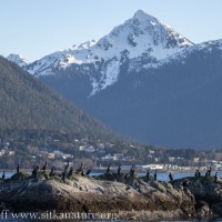
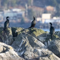
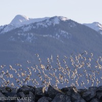
I didn’t see anything unexpected, but the numbers of expected species seemed good. Certainly higher than I have seen previously. This is probably mostly because I had never had the opportunity to make such a thorough look before.
Swell was minimal and we didn’t run into any significant wind until beyond Gagarin Island. With such mild conditions (better than I expected), we were able to poke around the outside of the islands.
Without the enclosed (and heated) cabin, it would have been a very cold 3+ hours on the water. However, the cabin had good visibility, and I only stepped outside when I needed a better look or some photos.
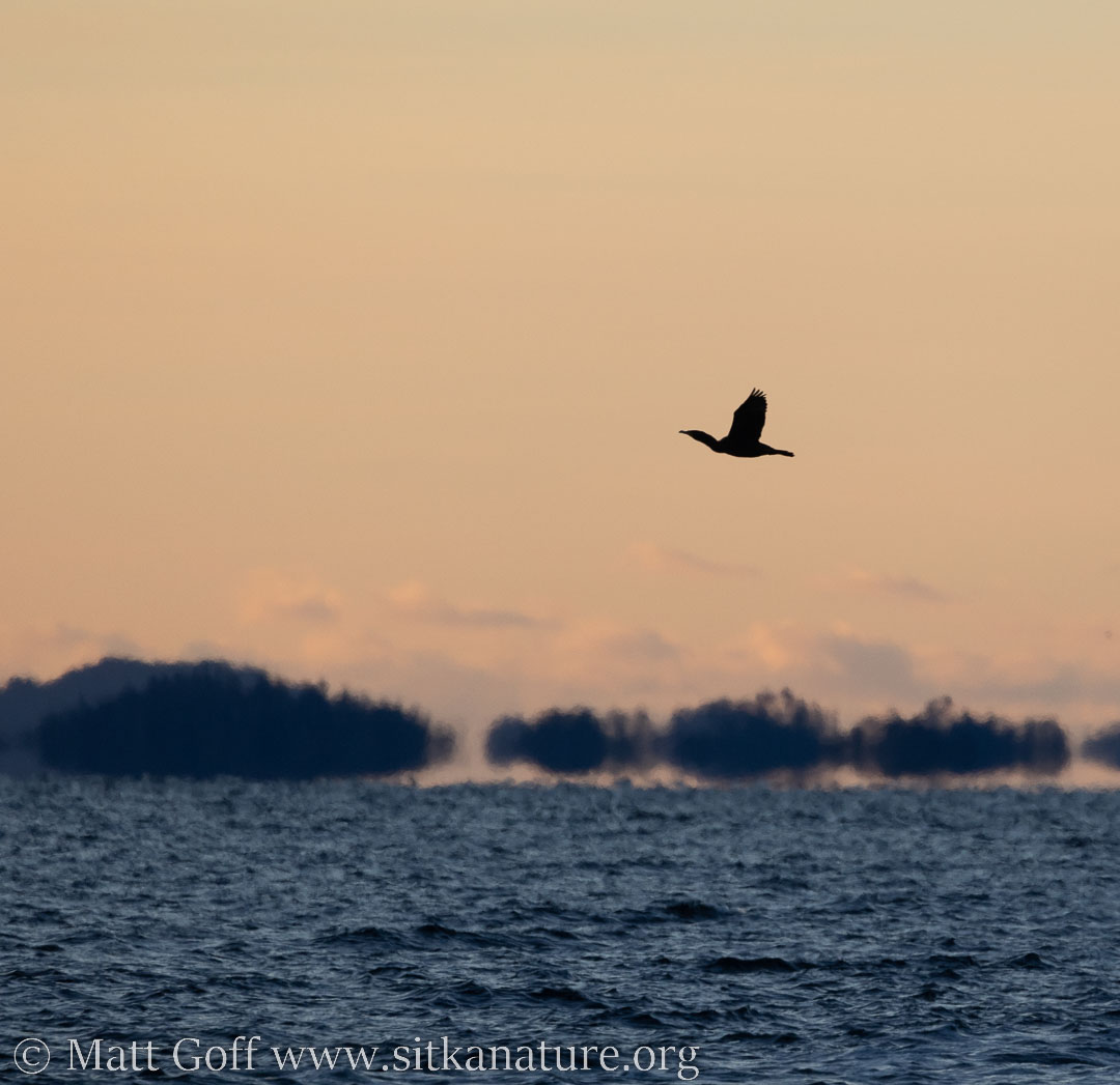
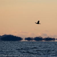
Many of my photos didn’t turn out very well. They were good enough to help identify some of the more distant birds, but that’s about all I could say for them. The 20F degree difference in temperature between the water and air made for significant heat shimmer.
Our route went along the causeway then wound mostly on the outside of the islands beyond Gagarin Island. From there we looped broadly around and then between the Siginaka Islands. Through Crow Pass we wrapped around Middle Island, checking both the outer and inner shorelines. Another sweep back to Old Sitka Rocks, looping around to Kasiana Islands, and then back to the channel. The counting part of the trip (everything past the channel) ended up being about 36 miles, and took us 3 hours and 20 minutes.
Upon my return to town, I checked in with Jen and Victoria to see if there was another route for me to pick up.
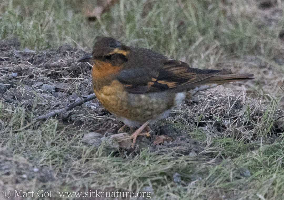
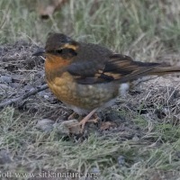
I took an hour walking the Verstovia Avenue neighborhoods. I saw expected species there (though a very different set than the ones I had seen on the water).
I think both routes were new for me [Update: they were not]. Over the years I have mostly done different routes. I’ve now done both north and south areas of town on the water. On the water I think I’ve done most of the routes between Kashevarof Street (heading out Halibut Point Road) and Shotgun Alley, plus Thimbleberry Lake trail, Verstovia trail and a significant chunk of Indian River trail. I have tracks for most of the years since 2014, and might be able to reconstruct most of the years before that based on photos and photojournals. (I know the first 3 or 4 years I went up Verstovia.)

