
Recently I found out that Google Earth has added the ability view weather satellite imagery as a layer. Although I have found the satellite imagery for the northern Gulf of Alaska and Alaska before, looking at things on Google Earth makes it much easier to see the big picture as well as what is going on regionally.
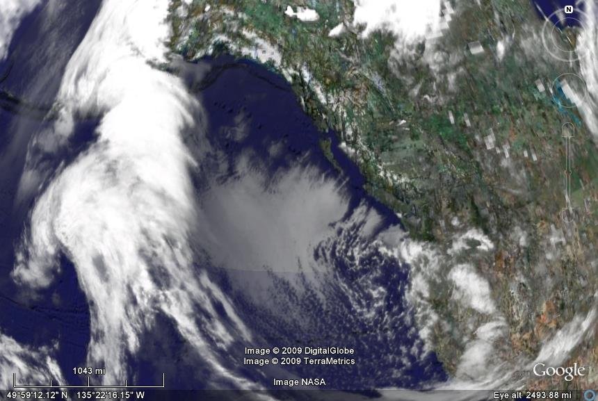
For example, in the photo at the top of this post, notice the band of clouds stretching from near the equator all the way up into Southeast Alaska. The weather at this time was warm for the time of year, temperatures were in the low-to-mid 40s, and it was rainy. Looking at the weather pattern at the time, it seems likely this was due to warm air moving up from lower latitudes, cooling as it moved north, but still resulting in relatively warm temperatures.
Compare that to the current situation with clear skies and winds out of the north. Today’s satellite imagery shows the clear conditions prevailing over southeast and to the north. If you watch the 24-hour sequence of images (also available on Google Earth by clicking on the Weather > information layer), you can also see the clouds in motion.
It’s a fun thing to play with, and I suspect it will help my understanding of the regional weather as I compare what I see there with what I experience locally.